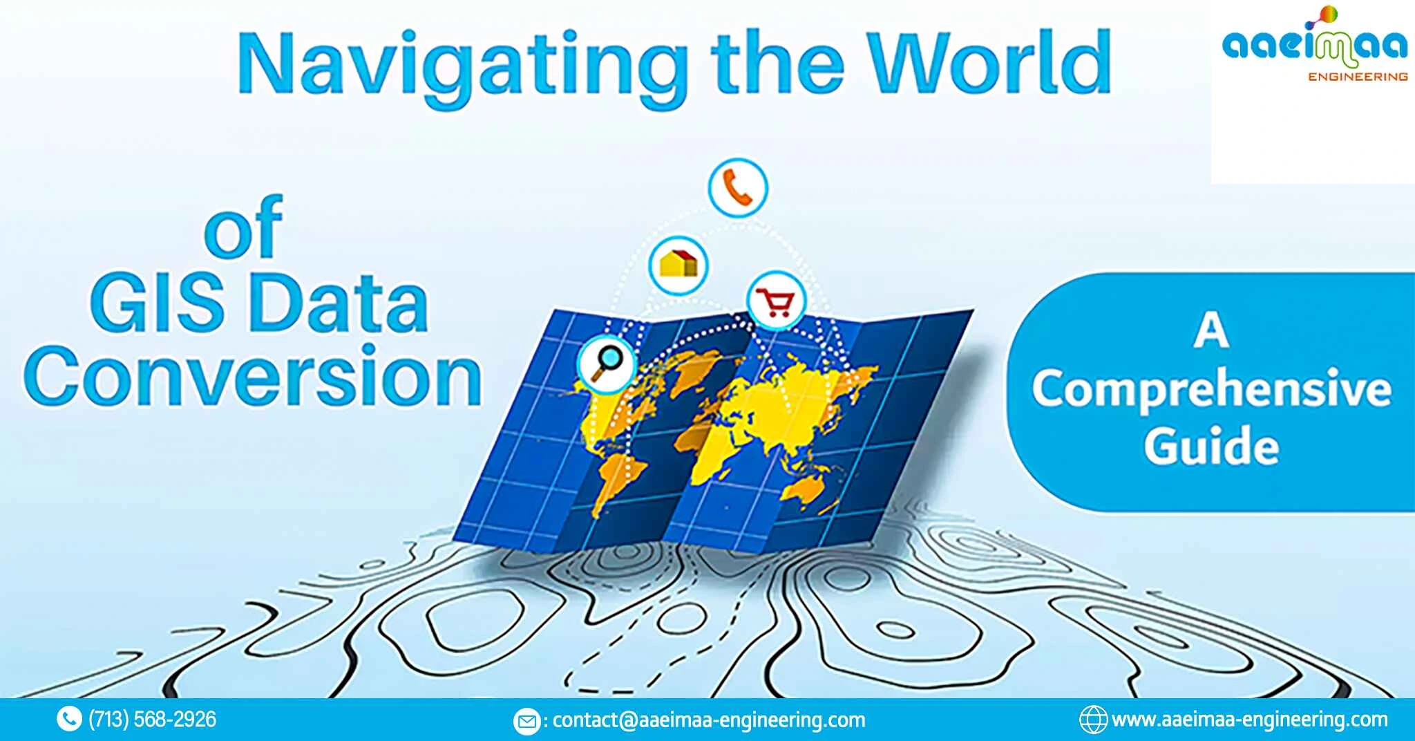
The use of Geographic Information Systems (GIS) is crucial in contemporary decision-making processes. Effective transformation and use of geographical data depend on a fundamental procedure called GIS data conversion. This blog will provide you a thorough grasp of GIS data conversion, its significance, and the several approaches involved, whether you are a GIS professional, a student, or simply inquisitive about the nuances of GIS.
What is GIS Data Conversion?
GIS data conversion refers to the process of converting geospatial data from one format or coordinate system to another. It is an essential stage in the administration of GIS data, enabling experts to effortlessly combine and analyze data from various sources. The three main types of GIS data conversion are raster-to-raster, vector-to-vector, and vector-to-vector.
The importance of GIS data conversion
Integration of data: GIS data conversion makes it possible to combine and analyze various datasets, which results in a more complete image of the geographic area of interest.
Standardization: Consistency and accuracy in analysis and visualization are ensured by converting data into a standard format and projection.
Utilization of Data: It facilitates the coordinated use of data gathered from diverse sources, including surveys, GPS devices, and remote sensing.
Interoperability: GIS data conversion enables data sharing and exchange between various GIS programs and systems.
GIS Data Conversion Techniques
Vector-to-Vector Conversion: This technique entails changing the format of vector data (such as points, lines, and polygons). Shapefiles, KML, GeoJSON, and other prevalent formats are but a few. Tools for vector-to-vector conversion are provided by software like ArcGIS, QGIS, and GDAL.
Raster-to-Raster Conversion: Raster data is converted in this procedure from one format to another, frequently to assure compatibility or to boost the data’s quality (e.g., satellite imagery, digital elevation models). For raster conversions, programs like GDAL and ERDAS Imagine are frequently employed.
Vector-to-Raster Conversion: Vector data is converted into raster format using this technique. A point dataset might be transformed into a continuous raster surface, such as a heat map, for study. Tools for this conversion are available in QGIS and ArcGIS.
Coordinate System Transformation: Transforming data between coordinate systems is occasionally necessary. This is crucial in order to guarantee that all data layers are accurately aligned for analysis. For transforming coordinate systems, programs like Proj4 and GDAL are frequently employed.
Format Conversion: Data conversion from one file format to another is included here, for example, converting a shapefile to a GeoJSON or a GeoTIFF to a PNG image. Options for format conversion are available because to software like OGR and GDAL.
Challenges in GIS Data Conversion
Loss of Data: Data conversion might result in the loss of some accuracy or information, especially when simplifying intricate geometries.
Coordinate System Errors: Coordinate systems that have been incorrectly changed might produce major mistakes in analysis or mapping.
Volume of data: Large dataset conversion can be time- and resource-intensive.
Quality Control: It’s crucial to maintain data integrity during the conversion process in order to prevent mistakes.
GIS Data Conversion Best Practices
Backup of Data: To reduce the danger of data loss, always make a backup of your original data before conversion.
Documentation for the Coordinate System: Keep track of the coordinate systems you employ for data conversion and processing.
Quality Assurance: Implement quality control measures to confirm the transformed data’s accuracy.
Testing: To make sure the transformed data performs as intended, test it in your GIS program.
Conclusion
Data conversion is a crucial procedure that makes data integration, analysis, and visualization possible in the field of geographic information systems. For GIS experts and fans alike, it is essential to comprehend the various approaches, difficulties, and best practices of GIS data conversion. You can make sure your geospatial data is precise, consistent, and prepared for meaningful analysis with the correct equipment and information.