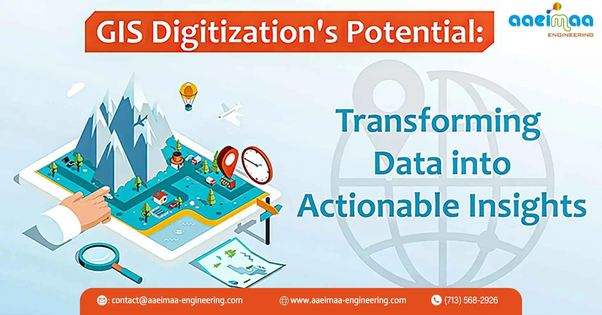
Geographic Information Systems (GIS) have evolved as invaluable decision-making tools in today’s quickly expanding technological ecosystem. Digitization—the act of transferring analog geographic data into digital formats—is a key component of GIS. This change has transformed the way organizations gather, analyze, and use spatial data. In this blog post, we’ll look at the importance of GIS digitization, its benefits, and its uses in a variety of industries.
Understanding GIS Digitization: The Analog to Digital Transition
Physical maps, pictures, satellite images, and other analog data sources are converted into digital representations during GIS digitization. This procedure makes it easier to create geographic databases, allowing for more effective data storage, management, and analysis. While digitization can be a time-consuming process, the benefits of the ensuing digital datasets much outweigh the initial investment.
1. The Advantages of GIS Digitization
Enhanced Data Accessibility and Sharing: Digital datasets are freely available and may be shared remotely, encouraging team cooperation regardless of physical location. This ease of access encourages effective decision-making and enhances communication among stakeholders.
2. Data Representation that is Accurate
Manual digitization procedures provide exact feature tracing, decreasing the flaws and disparities inherent in analog data. This precision is critical for accurate analysis and informed decision-making.
3. Integration of Layers
Layering and integrating digitized data allows users to overlay multiple datasets for full spatial analysis. This stacking function is very useful for detecting hidden patterns, trends, and correlations in specific datasets.
4. Analysis of Space
Advanced spatial analysis techniques, such as buffer analysis, proximity analysis, and spatial interpolation, can be used to digitized data. These assessments provide information that can be used to solve complicated challenges ranging from urban planning to environmental monitoring.
5. Historical Data Preservation
Digitization ensures the preservation of historical maps and documents by transferring them to a long-lasting digital format. This not only protects critical information from deterioration, but also makes previous data conveniently accessible for research and analysis.
GIS Digitization Applications
1. Urban Development and Planning
GIS data that has been digitized can help urban planners visualize growth patterns, find viable places for infrastructure, and optimize land use. This contributes to the creation of sustainable and efficient cities.
2. Management of the Environment
Environmental agencies employ computerized data to track wildlife habitats, monitor ecological changes, and manage natural resources. This data is critical for successful conservation and mitigation activities.
3. Emergency Action
Digitized GIS data assists emergency responders in allocating resources, planning evacuation routes, and assessing damaged areas during catastrophes. This improves disaster management activities’ efficiency.
4. Forestry and agriculture
Precision agriculture is aided by digitization, which provides farmers with information on soil condition, crop health, and water availability. Similarly, geographical data is useful in forestry management for sustainable resource utilization.
5. Analysis of Business Locations
GIS digitization is used by retailers and enterprises to research market demographics, evaluate rival locations, and make informed decisions about new shop placements.
Finally, GIS digitization is a critical step in realizing the full potential of geographic data. Organizations have access to accurate, adaptable, and easily shareable data that feeds informed decision-making by turning analog information into digital formats. GIS digitization has a wide range of applications, from urban planning to emergency response. As technology advances, the relevance of digitized GIS data in constructing a more connected and data-driven world will only grow.